
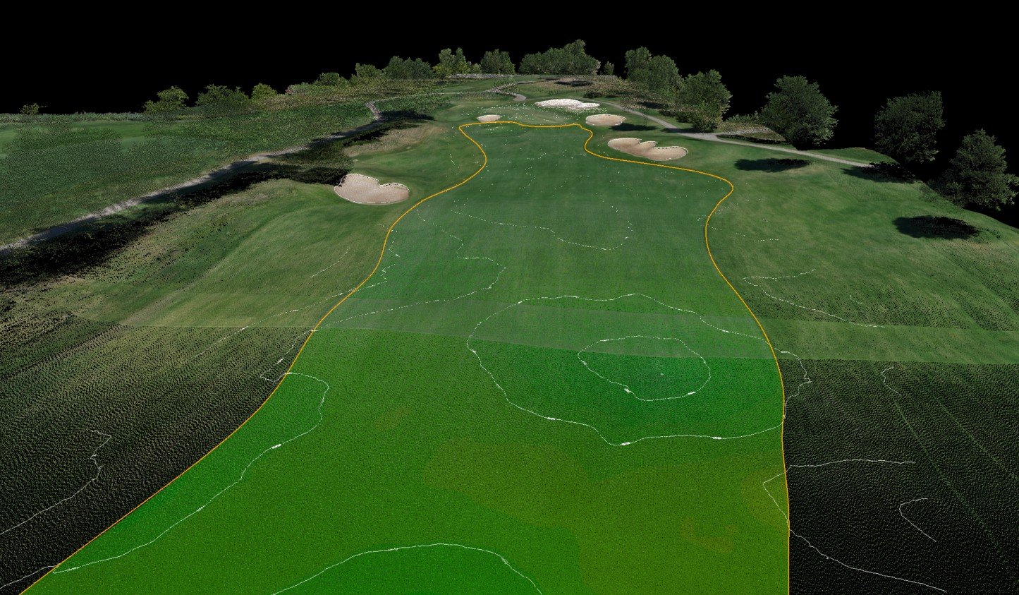
LiDAR Scanning & Geospatial Technology :
Data driven precision on every hole.
Turn complex terrain into a shapeable design before construction begins
Construction Layout & Staking
Data Collection for As-Builts & Estimating
Line-of-Play & Yardage Markers
Sub-Centimeter Accuracy
Slope Analysis of Greens for Better Pin Placement
Complete 3D Record of the Course
Survey-Grade Data for Architect Design
Accurate Cart Path & Irrigation Asset Mapping